
CROPLANDS
Croplands are territories on which crops are grown. Cultivated croplands include close-grown crops, rotational crops, and other land management options. Non- cultivated cropland includes permanent hay land and horticultural land use.

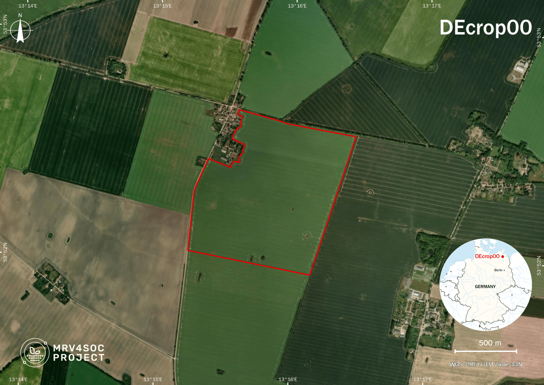
DEcrop00 – Demmin Heydenhof, Western Pomerania, DE
The DS Demmin site, located in North-Eastern Germany near Demmin in Mecklenburg-Western Pomerania, is part of the TERENO observatory and focuses on agricultural land use. The region spans about 800 km², with over 60% dedicated to farmland. The dominant crop types are cereal crops (50%), oilseeds (20%), feed crops (16%), root crops (4%), and legumes (4%). Cereal crops, including winter wheat (55%), winter barley (26%), and rye (11%), are most commonly grown. The soils in the region are mainly Cambisols, Luvisols, and Podzols in drier areas, while wetter sites contain Gleysols and Histosols. This site contributes valuable data for Earth-observation programs, including ESA Copernicus and EnMAP, supporting the quality assurance of remote sensing data.
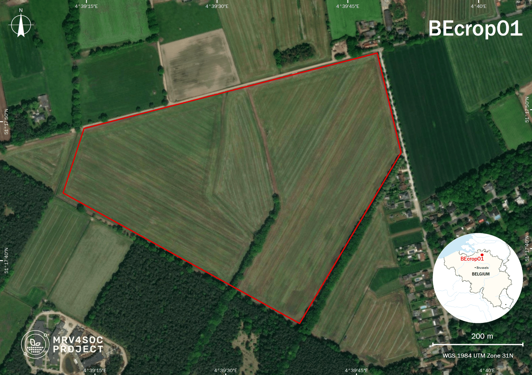
BEcrop01 – Westmalle, Flanders, BE
This site is made of two adjacent croplands, both characterised by extreme nitrogen pollution. A new kind of carbon farming is implemented in one of the croplands, while the other serves as a control site. Water and energy fluxes are being calculated as well, in order to estimate the impact of carbon farming on water availability, groundwater recharge, and land surface radiation balance.
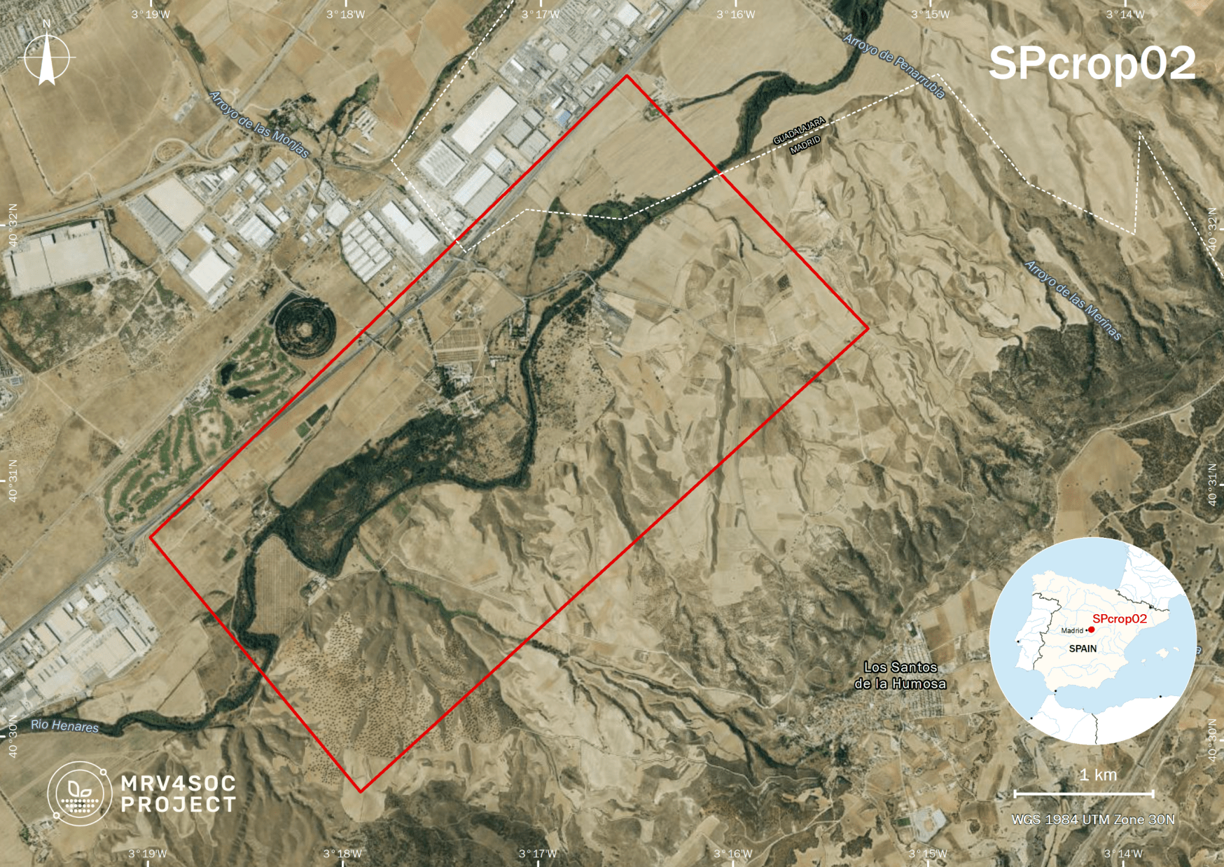
SPcrop02 – La Canaleja, Madrid, SP
The area is subject to long-term no-tillage, minimum tillage, and tillage and crop rotation experiments. The innovative long-term research follows a multidisciplinary approach involving agronomists, soil microbiologists, and zoologists, ecophysiologists, and ecologists. Data from this experiment can be used to calibrate and validate biogeochemical processes in rainfed systems under semi-arid conditions.
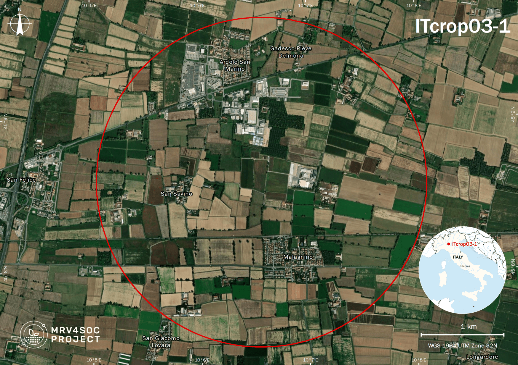
ITcrop03-1 – Malagnino, Lombardy, IT
This pilot has two sites. The first one, located in the Po Plain (ERSAF), is a network of experimental farms evaluating the benefits of conservation management practices based on no-tillage/minimum tillage, use of cover crops and rotation in cropping systems. The impacts of these practices on yield stability, improving soil health, maintaining soil organic carbon and edaphic biodiversity (QBS-ar) are being measured. Data is contributing to the definition of an EU standard for carbon credit certification.
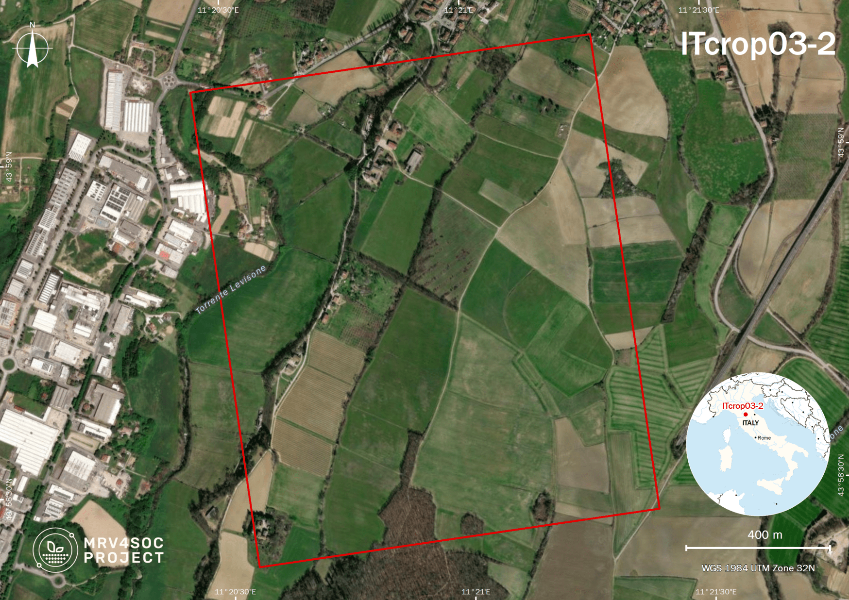
ITcrop03-2 – Fagna, Tuscany, Italy
This pilot has two sites. The second site, LTE experiment (CREA-AA), is located in Mugello Landscape in northern Tuscany. The LTE experiment started in 1994, and consists of two types of land use, continuous maize (Zea Mais L.), and a 3-year rotation (maize/winter wheat/broad bean), managed with four tillage treatments randomly assigned. Soil Organic Carbon and Greenhouse Gas Balance are monitored.
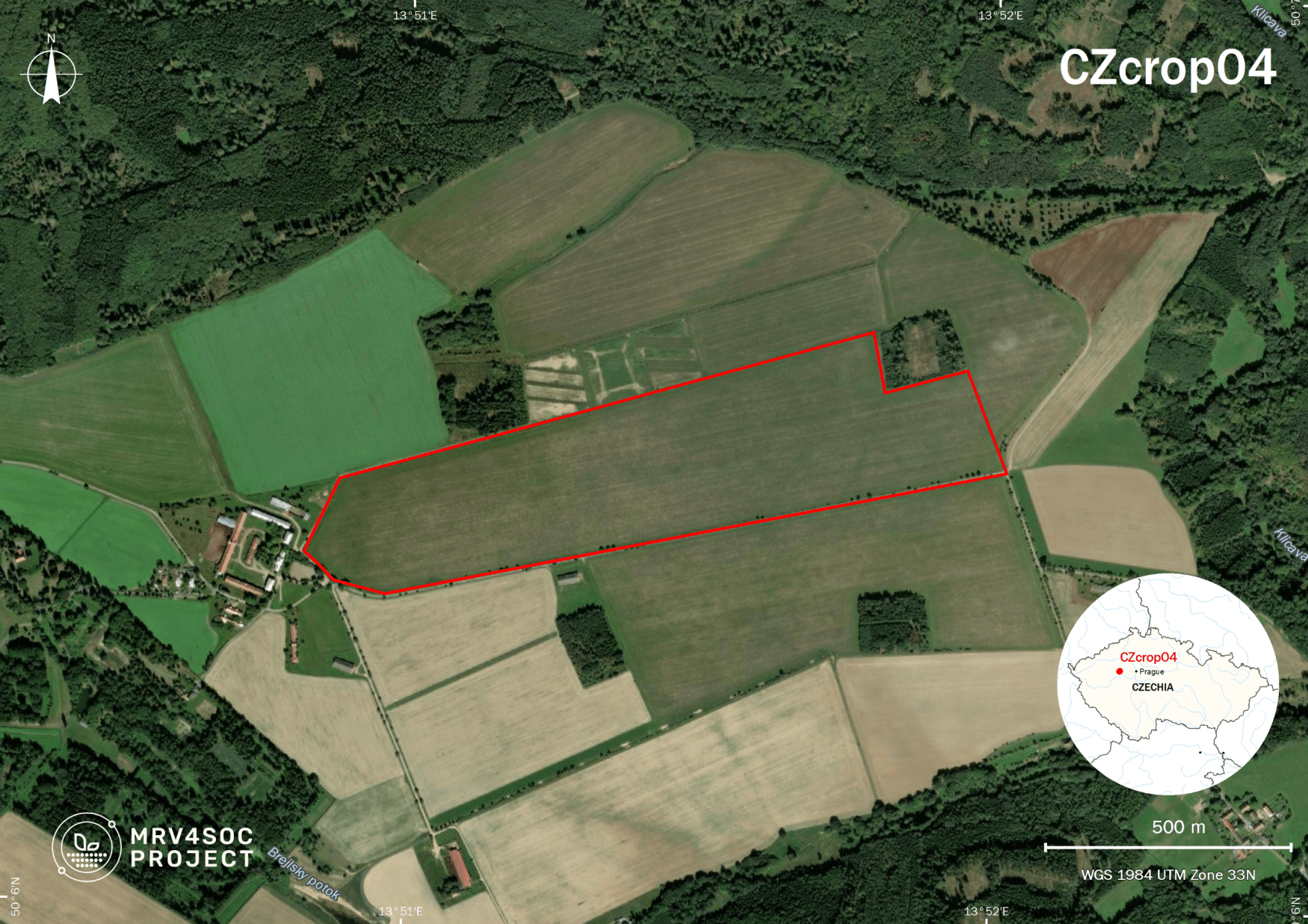
CZcrop04 – Amálie, Central Bohemia, CZ
The principal objective of this demo site is to achieve sustainable soil and landscape management in conditions of low precipitation and erosion risk. The area will be an example of a “smart landscape” where intensive agriculture and forestry are performed under dry conditions thanks to smart water management. Also, biodiversity and the aesthetic value of the landscape will be preserved. Furthermore, a series of smaller field experiments are carried out, focusing on erosion reduction, underground drip irrigation, controlled drainage systems, reduced tillage, agroforestry implementation, and more.
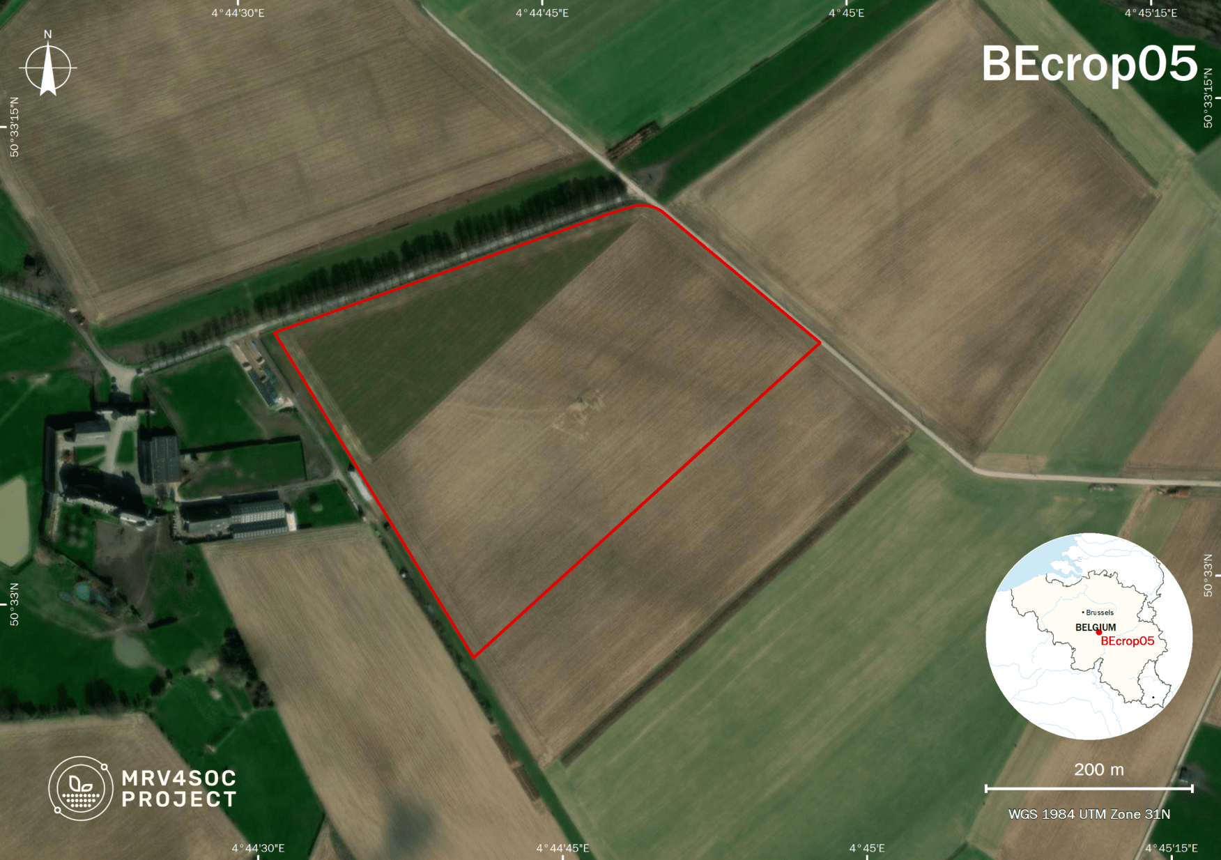
BEcrop05 – Lonzée, Wallonia, BE
The demo site is a cropland, part of the ICOS-ecosystem flux tower network, representative of the regional production – it is characterised by fertile soil and dominated by cropping. The primary objective of this demo site, managed with conventional farming, is to serve as a cal/val exercise for biogeochemical models aimed at evaluating the potential of some crop management options for carbon sequestration.